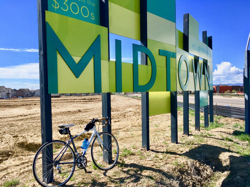
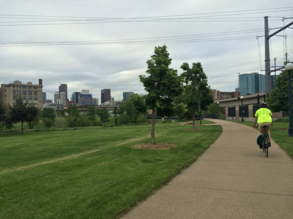
If you live in Denver, especially the Midtown neighborhood, and have a metal object in your garage that happens to have two wheels, it’s about time to dust that thing off and take advantage of Denver’s many paved, multi-use trails!
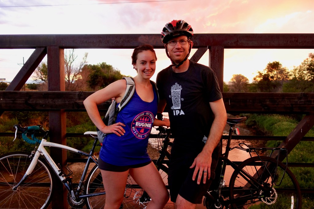
Hubby are I are by no means serious cyclists (heck, I often ride in flip flops), but we do a helluva lot of biking! One of the top reasons we moved to the Midtown neighborhood was because of the close access to biking trails. From our community, one could pretty much ride in any direction and get in a half day’s worth of riding without having to step outside the comfort and safety of a secluded, paved trail.
Furthermore, there are trail options for any mood and ability, whether it’s a quiet, easy ride to say you got off the couch or a tough, hilly ride to earn a mid-ride beverage or bite to eat.
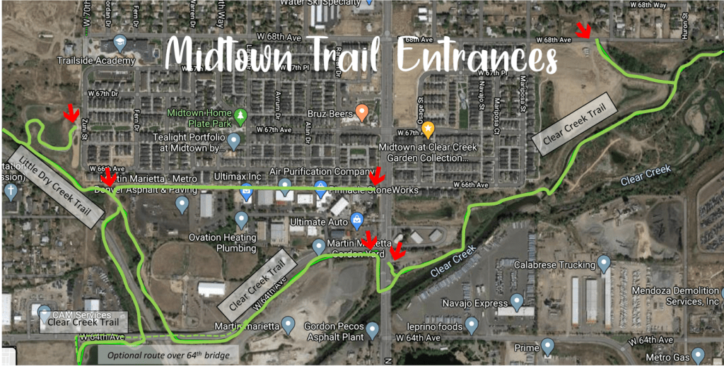
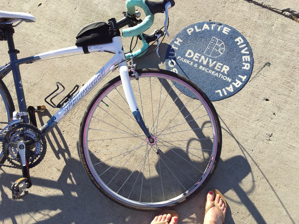
The official “Hello Midtown” website has a neat biking map of its own and using the “bicycling layer” on Google Maps is a good way to locate bike paths, but below is a summary of my favorite routes (ranked from least favorite to most favorite) that I ride most often. Happy riding from Em & Pie!

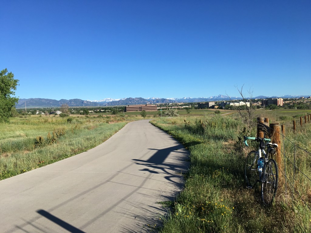
#5 Destination: Stapleton Community
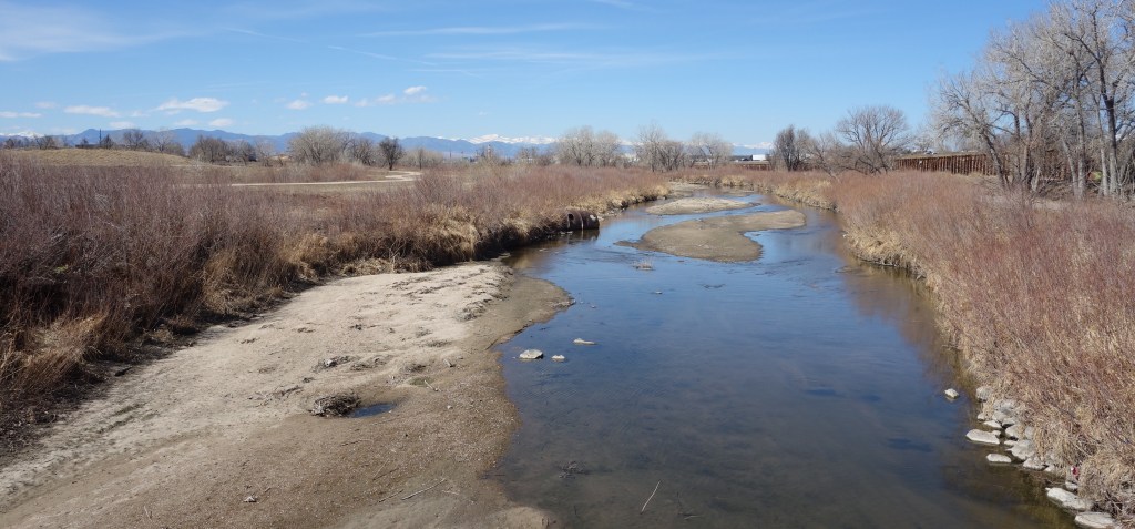
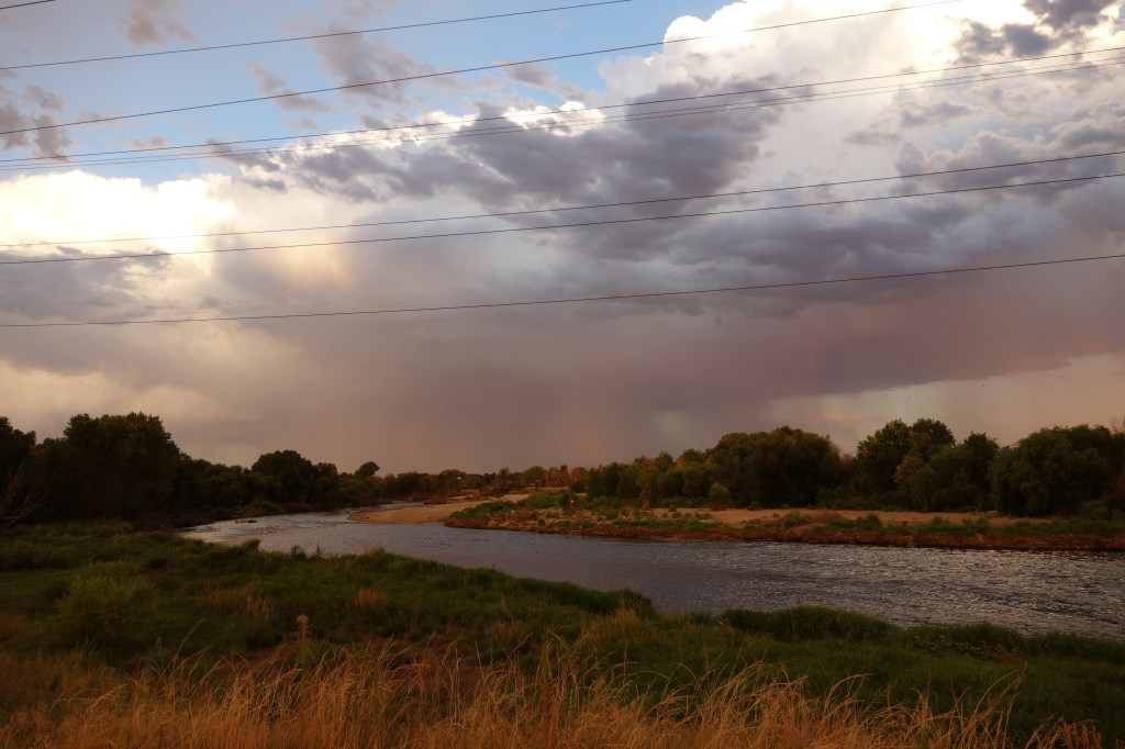
Route: Clear Creek Trail, South Platte River Trail, and Sand Creek Trail
Distance: 24 miles round-trip
Elevation Gain: Easy, less than 500 ft.
Pros: Quiet, river views, few pedestrians
Cons: Gnats/bugs, end section of Sand Creek Trail unpaved (but the gravel is small/stable and fairly easily to ride on for most riders)
Navigation Tips: The Clear Creek Trail is easy to jump on from Midtown because entrances can be found on both the east and west sides of the Midtown community. Head east on the Clear Creek Trail until the Clear Creek/South Platte River confluence is reached (approximately three miles from east Midtown or four miles from west Midtown). There is a large bridge over Clear Creek on the right side of the trail at this junction; make a sharp right turn at the bridge and continue straight/south on the South Platte River Trail.
(Side note: there is another large bridge on the left after crossing the bridge over Clear Creek; in case you were curious, this bridge takes trail users to Commerce City on the Fernald Trail, but the trail runs out at an RTD commuter rail stop that is not active as of July 2020).
Continue on the South Platte River Trail for approximately one mile until a large bridge on the left side of the trail is reached for the Sand Creek Trail turnoff (there is a sign that indicates the Sand Creek Trail). Turn left at this bridge and continue on the Sand Creek Trail headed southeast.
The trail is mostly straightforward the entire way and ends after approximate seven more miles at Bluff Lake Park. The Sand Creek Trail is one of the less scenic ones in the area, but it has some amazing local restaurants near the end of the trail to make up for the lack of views. HashTAG is a great place to stop for brunch, but plan ahead because it can get busy on weekends. Another fun stop is Stanley Marketplace where there is a variety of food choices and retail shops to choose from.
To swap out the last [boring] mile of the trail for a fun visit to the Stanley Markplace, after approximately 5.8 miles from the Sand Creek Trail bridge turnoff, follow the trail as it turns right/south into the Westerly Creek Trail and cross a wide concrete bridge that heads directly south into the Stapleton neighborhood trails. After a short distance, the neighborhood trail crosses M.L.K. Jr. Boulevard and you have the option of continuing on the winding neighborhood trails or jumping on one of the parallel neighborhood streets running directly south. At 26th Avenue, turn left/east and the Stanley Marketplace will be in view. Use the neighborhood trails or streets to navigate around to it on the east side.
The Views:

#4 Destination: Downtown Denver
Route: Clear Creek Trail and South Platte River Trail
Distance: 22 miles round-trip
Elevation Gain: Easy; less than 500 ft. elevation gain
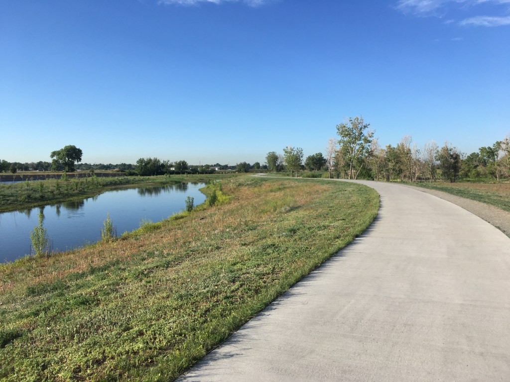
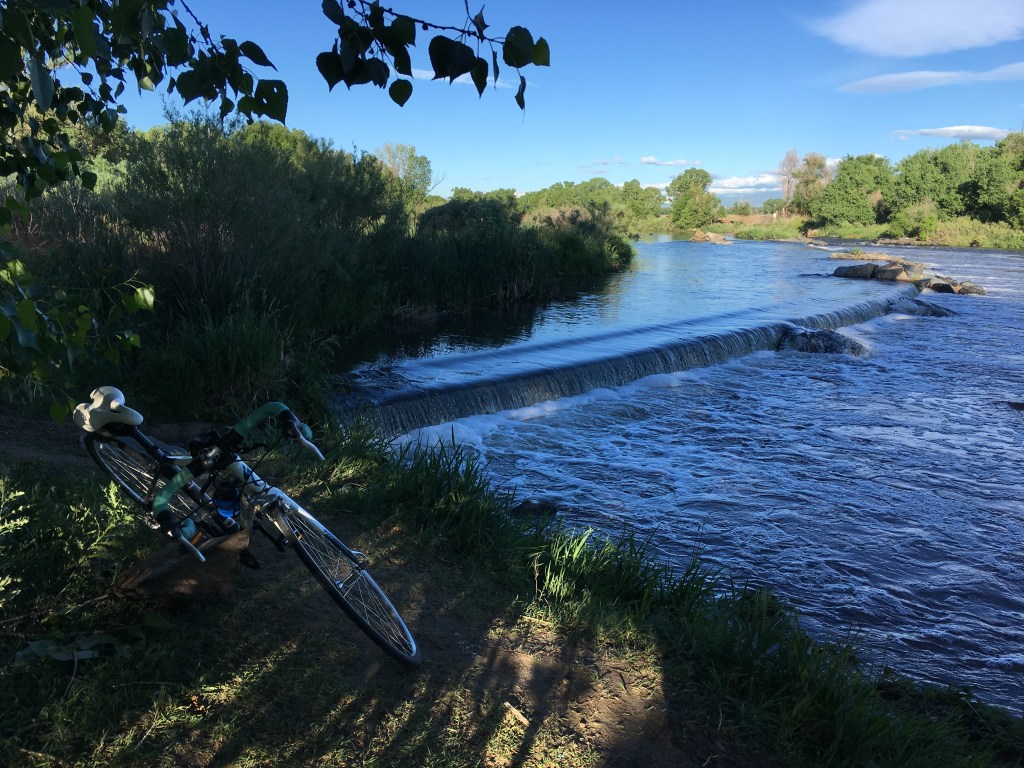
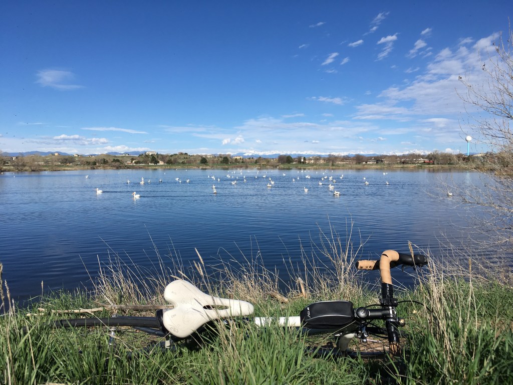
Pros: Quiet, lush vegetation, downtown views, wildlife (including the usual variety of ducks, geese, hawks, herons, sandhill cranes, and pelicans to more rare sightings of wild turkey, deer, snakes, and snapping turtles)
Cons: Lots of homeless camps set up near the trail due to the proximity to downtown (although this problem is getting increasingly worse on ALL trails in the Denver metro area), bug/gnats, several smelly sections from a sewage treatment plant and poultry slaughterhouse
Navigation Tips: The Clear Creek Trail is easy to jump on from Midtown because entrances can be found on both the east and west sides of the Midtown community. Head east on the Clear Creek Trail until the Clear Creek/South Platte River confluence is reached (approximately three miles from east Midtown or four miles from west Midtown). There is a large bridge over Clear Creek on the right side of the trail at this junction; make a sharp right turn at the bridge and continue straight/south on the South Platte River Trail.
(Side note: there is another large bridge on the left after crossing the bridge over Clear Creek; in case you were curious, this bridge takes trail users to Commerce City on the Fernald Trail, but the trail runs out at an RTD commuter rail stop that is not active as of July 2020).
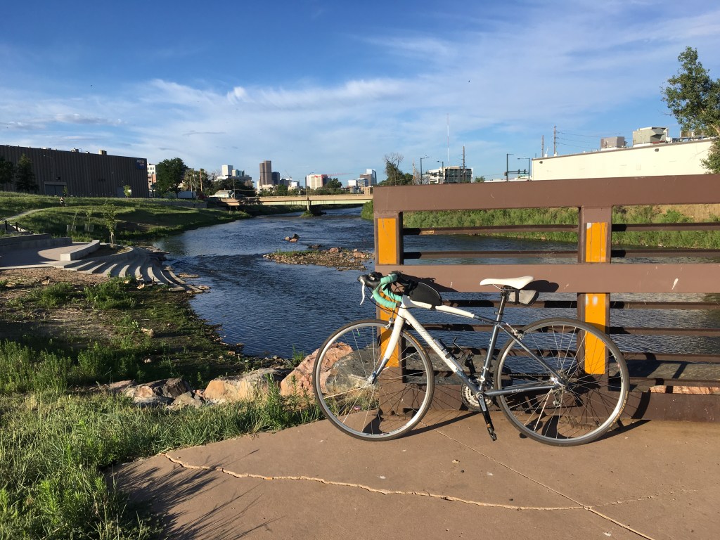
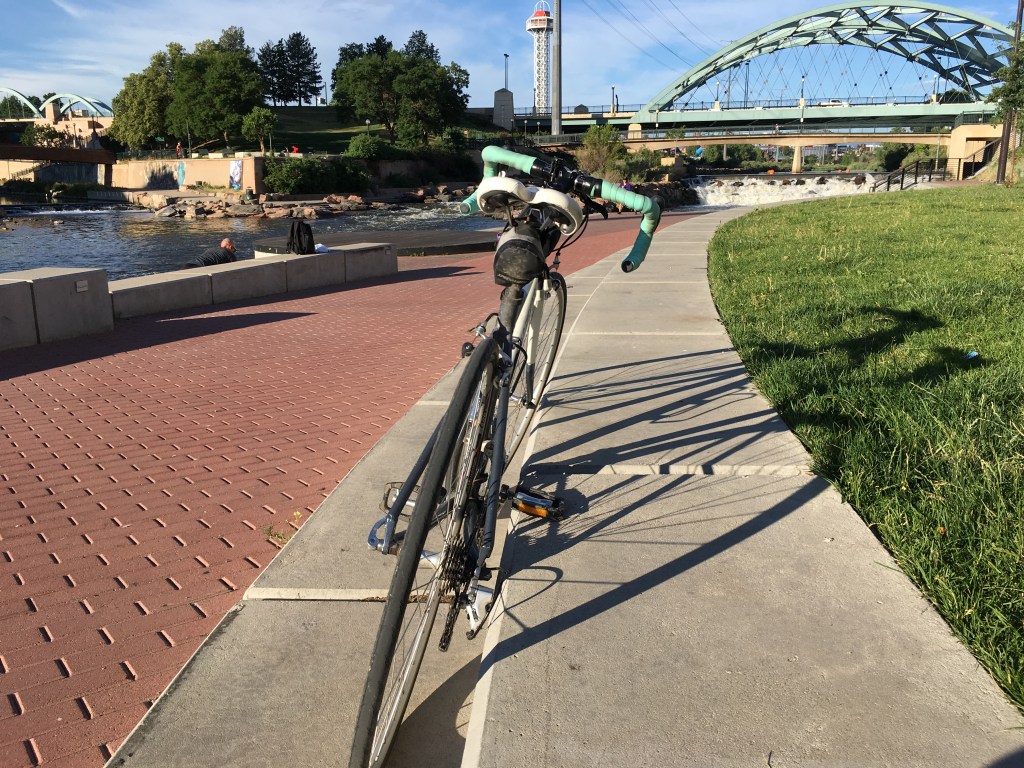
The trail is mostly straightforward all the way to the start of downtown, but gets a bit confusing after the City of Cuernavaca Park (approximately 6.5 miles after the Clear Creek bridge crossing). The best place to end the ride is at Confluence Park (near REI), where there is tiered concrete seating with views of the river and kayakers trying out the mini-rapids. To avoid the narrow, pedestrian-heavy walking paths leading up Confluence Park on the east side of the river, after passing the City of Cuernavaca Park and traveling underneath 20th and 19th Streets, turn right at a large metal/concrete bridge on the right and jump back on the South Platte River Trail headed south on the west side of the river. Confluence Park will be a short distance from there.
To make the most of your break at Confluence Park, grab a donut and coffee from Habit Doughnut Dispensary and Carbon Cafe on the way to the relaxing, urban park (from the metal/concrete bridge, turn left onto Platte Street instead of turning onto the trail).
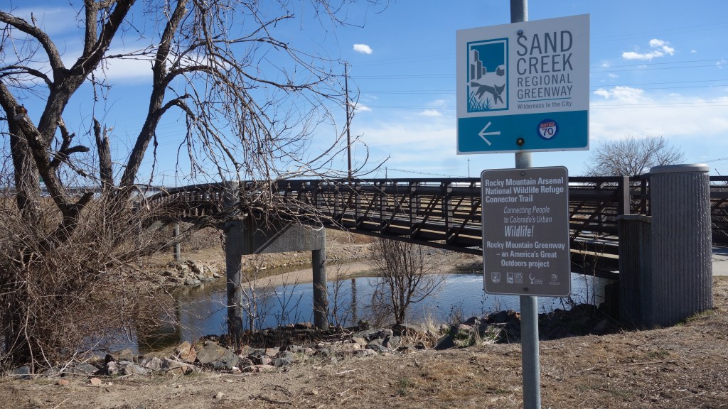
Go the extra mile to Cherry Creek Reservoir: Break off onto the Cherry Creek Trail at the Confluence Park junction (near REI) and stay on the bicyclist/south side of the Cherry Creek Trail (north side of the trail is for pedestrians only because this is a busy trail near downtown). The Cherry Creek Trail is a flat, straightforward trail all the way to the Cherry Creek Reservoir, which will earn you a whopping 22 miles (one way). Better than making the trip all the way to the Cherry Creek Reservoir is stopping just a couple of miles short of it at Sonder Coffee for a specialized tea or latte.
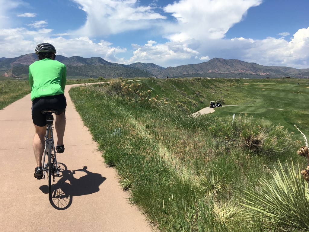
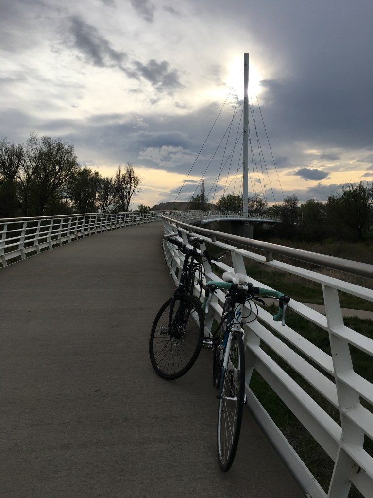
Go the extra, extra mile to Morrison, Colorado: For a more (extremely more!) scenic ride than the Cherry Creek Trail, stay on the South Platte River Trail at the Confluence Park junction (near REI). At the River Point/Sheridan junction in Englewood, veer west (slight right) to continue onto Bear Creek Trail. This winding, river trail ends up at the Fox Hollow Golf Course in Lakewood with a short, tough climb up to the top of a golf course hill with incredible views of downtown Denver in the far distance. If you’re lucky, you can refill up your water bottle with cold water from the large jugs placed at the top of the trail for cyclists before you head down the other side of the trail into Morrison. Stop at the Red Rocks Beer Garden in Morrison for more incredible views and a cold beer before heading back home for a long ass ride! We usually do this ride as a “loop” and head back north up through Golden via the C-470 Bikeway and from there there, head east via the Clear Creek trail, rounding out the trip mileage to 60 miles and an exhausting amount of elevation gain.
Go the extra mile to Littleton, Colorado: If you want a long ride, but still be able to walk the next day, stay on the South Platte River Trail and at the River Point/Sheridan junction in Englewood, continue south/left on the Mary Carter Greenway Trail for a straightforward ride down to Littleton. Stop at the iconic Breckenridge Brewery & Tasting Room in Littleton for a long, but relatively flat 25-mile (one-way) trip.
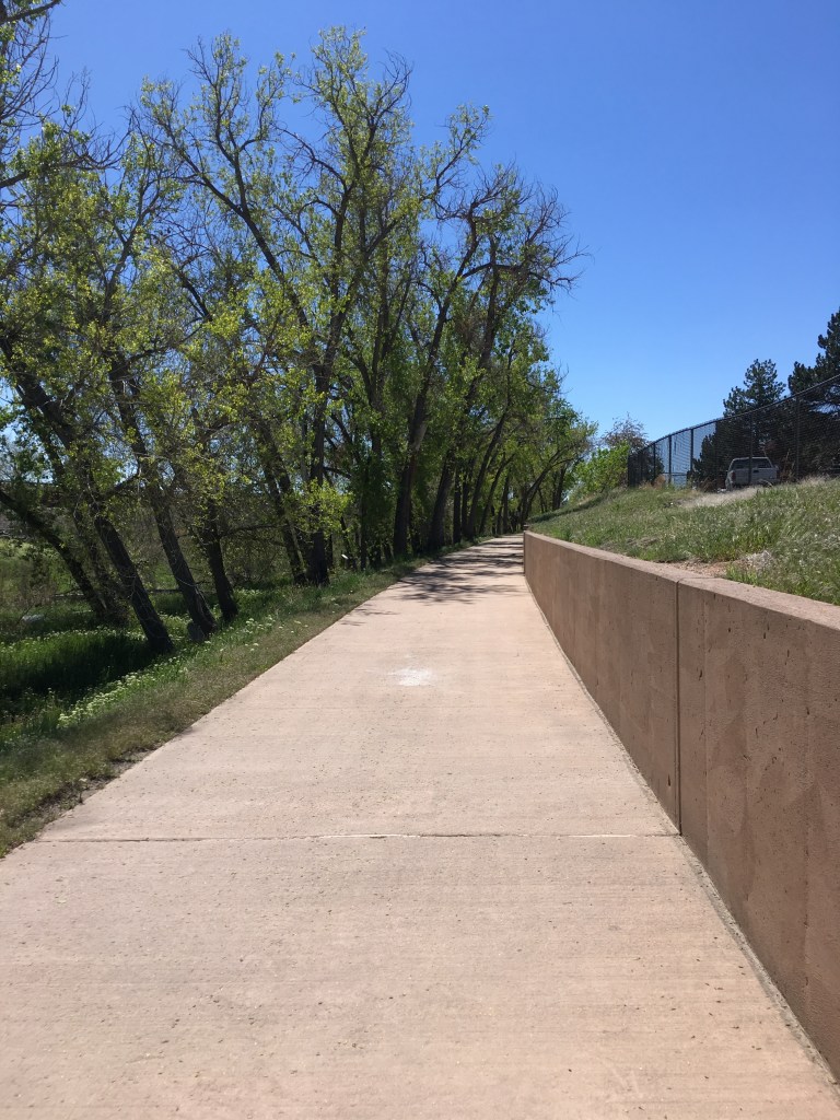
The Views:


#3 Destination: Boulder
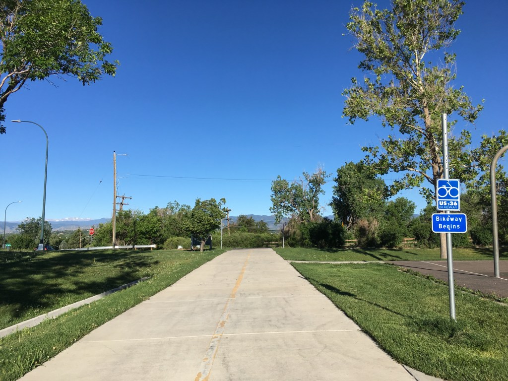
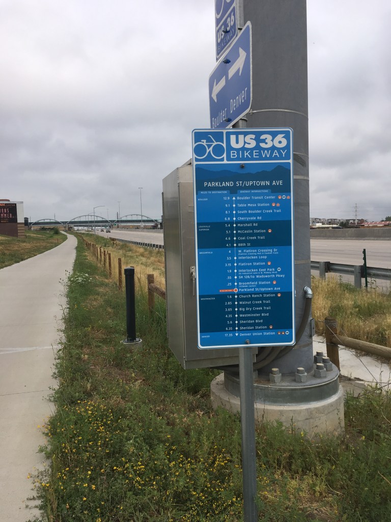
Route: Little Dry Creek Trail and US-36 Bikeway
Distance: 35 miles round-trip
Elevation Gain: Tough; 1500 ft. elevation gain with hills both out and back
Pros: Mountain views, wide trail, no bugs/gnats
Cons: Traffic noise, very hilly, minimal vegetation, lack of shade, somewhat difficult to navigate the first few miles of the route before the paved trail starts. (To avoid the initial, confusing section of this ride, users can park at Westminster Hills Park, which is the official start of the bikeway, or even better, the Downtown Westminster Shopping Mall.)
Navigation Tips: Start by heading west from the Little Dry Creek Trail on the west side of the Midtown community and continue past the Westminster Train Station to Lowell Boulevard (approximately 1.5 miles from the west side of Midtown).
(Side note: there is an alternative way to continue on the Little Dry Creek Trail to get to the US-36 Bikeway, but the Little Dry Creek Trail is very narrow, pedestrian-heavy, and becomes very confusing in certain spots. Little Dry Creek Trail mainly ends at Lake Arbor, which does not connect directly with the US-36 Bikeway and users must navigate through residential roads to connect the rest of the way to the US-36 trail.)
Once at Lowell Boulevard, turn right onto the road and head directly north for one mile on Lowell. Lowell is not a very busy road, but narrows down to one lane each way, so you can choose to stay on the road or jump on the wide sidewalk. I personally prefer to stay on the sidewalk on this section of the ride because it is all uphill and too easy to frustrate vehicles that don’t want to get stuck behind a slow bicyclist. If you choose to stay on the sidewalk, keep an eye out for vehicles backing out of residential driveways and yield to pedestrians.
Before the US-36 underpass, turn left onto the frontage road sidewalk to head northwest.
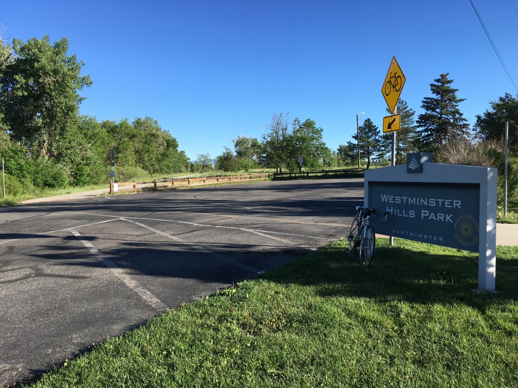
After following this sidewalk for a short distance, turn right at a tunnel that goes underneath 80th Avenue and spits out at Westminster Hills Park.
The US-35 Bikeway officially starts at Westminster Hills Park and there will be a sign off the trail with helpful way points (there are several of these signs along the bikeway). At Westminster Hills Park, continue straight, crossing the vehicle entrance of the park and onto the bike trail.
The trail will continue a short ways directly adjacent to the US-36 highway before spitting trail users out on Turnpike Drive and a quiet residential neighborhood. Turn right (north) onto the residential road and continue until the road dead-ends and meets up with the trail again.
The trail again continues a short while until it reaches the 88th/Sheridan intersection. This is a very busy intersection and not bicycle-friendly at all. Stay on the sidewalk on the south side of the intersection to use the pedestrian signal to cross Sheridan first (do not try crossing Sheridan with the flow of traffic on the right side of the road because the light will not recognize bicyclists and there is no crosswalk/pedestrian signal on that side of the road). After crossing Sheridan, use the pedestrian signal again to cross 88th.
Waiting for these two traffic signals to get across this intersection will be the slowest section of the ride, but the good news is, after this intersection, it’s smooth sailing! There is one more light signal to wait for at Church Ranch Boulevard, but it is a quick light.
Continue on the trail heading northwest that almost always runs adjacent to the US-36 highway. There are a few trail intersections that may lead away from the trail, but with good intuition, it’s easy enough to look ahead and see if the trail is just shooting off to a nearby neighborhood or retail area.
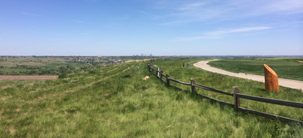
Although there will be plenty of views of the snow-capped Rocky Mountains throughout the ride, the best view will be from the Davidson Mesa Scenic Overlook. After taking a breather at this amazing view and proudly adorning a sweaty, soaked shirt to the people who drove up and didn’t earn their views, keep pedaling down the other side of the hill and make your way to Boulder for a mid-ride pick-me-up at Amante Coffee before turning back home.
Remember to save your energy for the ride home because it can be as equally punishing with the elevation gain as the ride to Boulder, especially if you had a nice tailwind before. The US-36 Bikeway trail ranks as one of my favorites because it’s a good way to get a calf- and lung-busting workout with the hills, rather than an arm workout swatting gnats on the flat, lush river trails.
The Views:
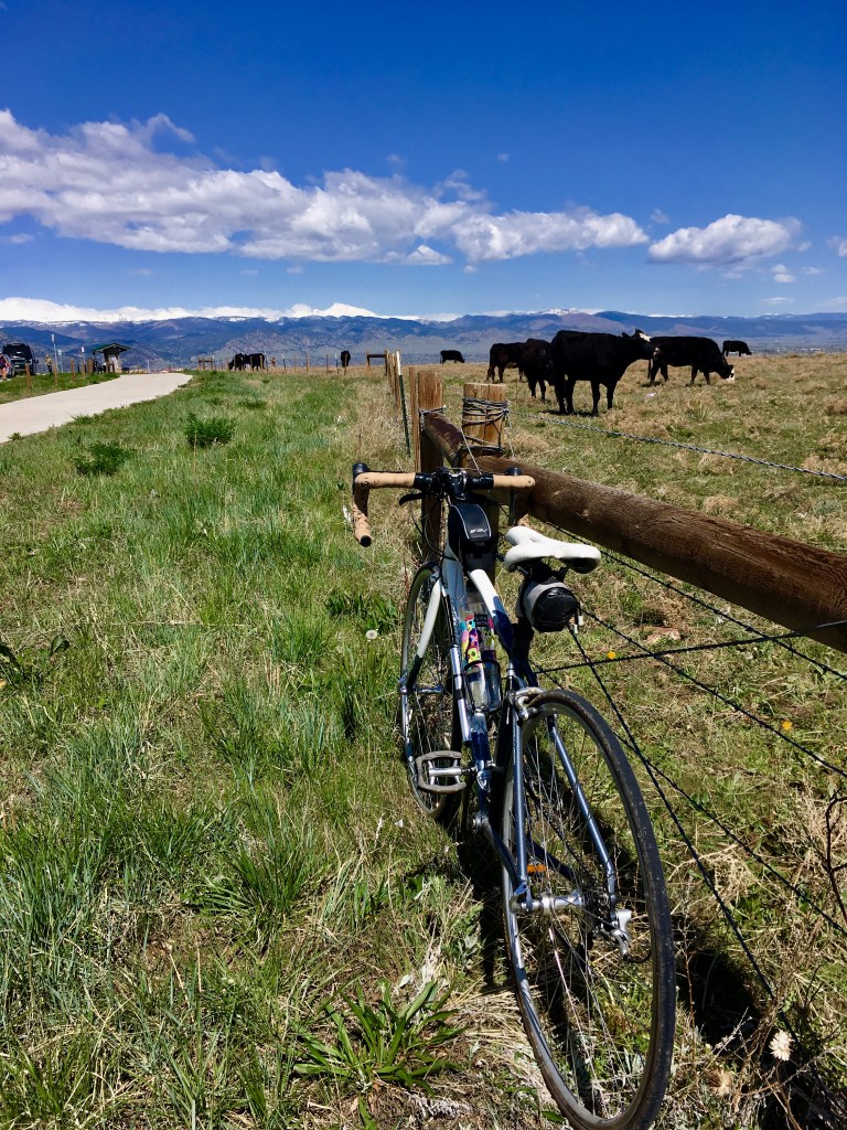

#2 Destination: Brighton (E-470 Toll Road)
Route: Clear Creek Trail and South Platte River Trail
Distance: 16 miles round-trip
Elevation Gain: Easy, less than 500 ft.
Pros: Quiet, river views, tons of wildlife (including sightings of bald eagles, pelicans, and wild turkeys), wide paths, few pedestrians
Cons: Gnats/bugs, no “cool” places off the path to stop at for a mid-ride drink or bite to eat
Navigation Tips: The Clear Creek Trail is easy to jump on from Midtown because entrances can be found on both the east and west sides of the Midtown community. Head east on the Clear Creek Trail until the Clear Creek/South Platte River confluence is reached (approximately three miles from east Midtown or four miles from west Midtown). There is a large bridge over Clear Creek on the right side of the trail at this junction; continue on the trail as it curves left and turns into the South Platte \River Trail.
The trail continues northeast and will have a few confusing intersections where the trail leads off to parking areas and neighborhoods, but look ahead and continue in the direction that seems to head northeast to stay on the route.
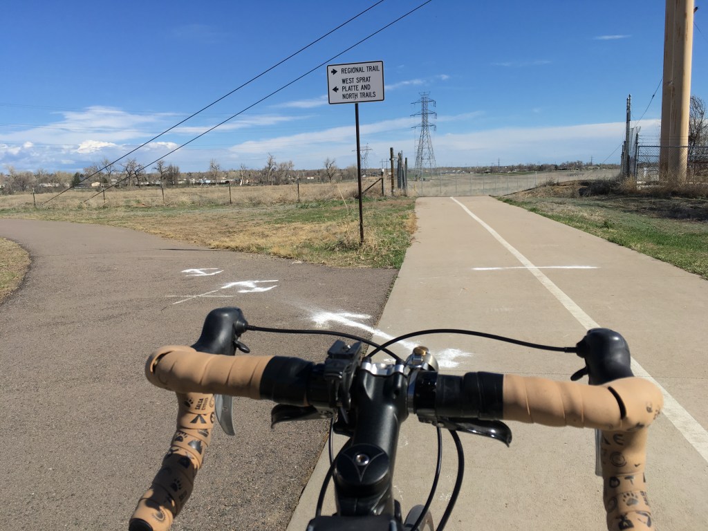
After approximately 2.5 more miles, there is a fork in the trail with a sign that says the “Regional Trail” is to the right and the “West/North South Platte River Trails” are to the left. This sign is a bit backwards because the trail used to continue left where trail users would eventually have to jump on McKay Road for a short section to meet back up with the South Platte River Trail again. A new section of trail built to the right at this junction now makes a more direct connection to continue northeast on the South Platte River Trail without having to ride on McKay Road. McKay Road is a busy street to cross with one-way traffic in each direction, but a new crosswalk and cross signal make this road easier to cross now.
After crossing McKay Road, continue on the trail, which generally heads northeast. There will again be more turnoffs to neighborhoods, small lakes, and parking lots, but looking ahead to make sure the trail continues northeast will help prevent making a wrong turn.
The trail gets a bit confusing again after crossing a large metal bridge and going underneath the 120th Parkway underpass. After crossing underneath the underpass, turn right and look for the signs that point trail users in the correct direction to follow the South Platte River Trail Northbound, which includes going through a small concrete tunnel and then turning left after the tunnel. The trail curves slightly right and goes east for a very short section before it curves left and continues northeastward again.
The trail mostly ends around the Riverdale Dunes Golf Course, which can be seen on the left side of the trail, but if you’d like to continue until the official end of the trail, keep an eye out for a bridge on the right side of the trail after passing the golf course. This bridge is somewhat hidden until you pass it, so it’s easy to miss. Make a sharp right turn onto the bridge and continue north until the E-470 underpass.
After going underneath the E-470 underpass, the trail continues to the right/southeast and officially ends at a small trail parking lot. Sadly, there are no other bike trails in this area and no places to take a break for a mid-ride beverage or bite to eat, but because there isn’t much around this area, this multi-use trail is generally more peaceful than other trails and has less pedestrian traffic. If a fast ride is what you crave without having to constantly slow down for pedestrians, this trail is more likely to satisfy that type of ride than other trails.
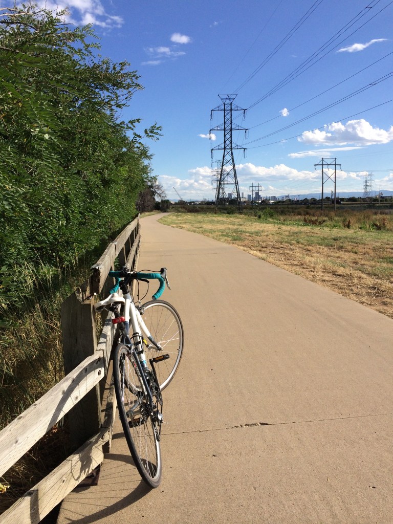
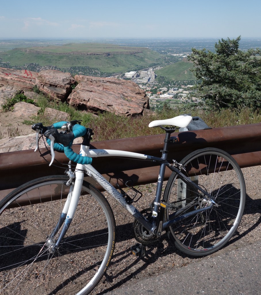
The Views:


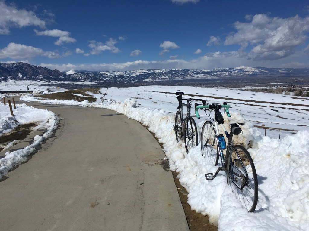
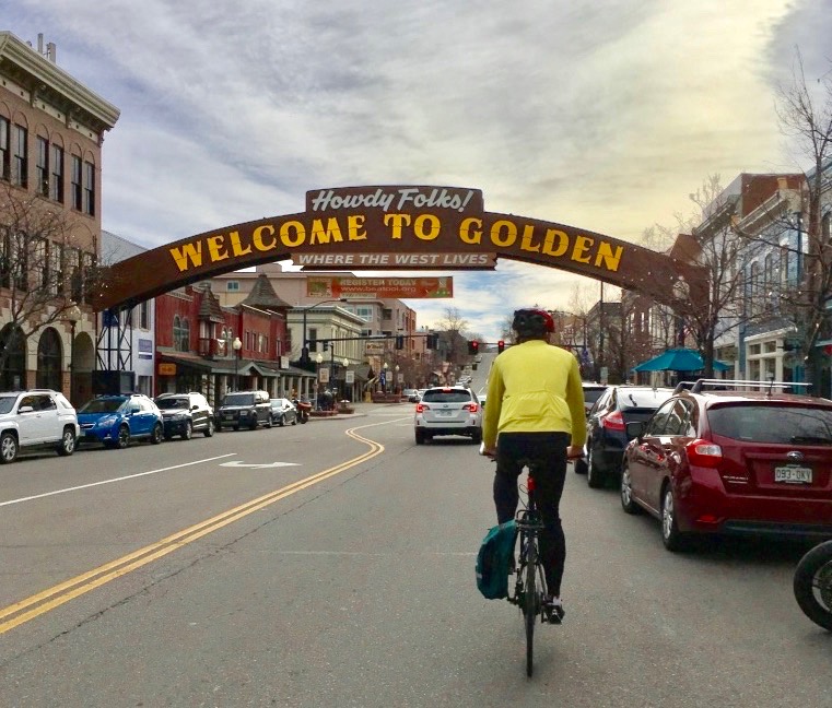
#1 Destination: Golden
Route: Clear Creek Trail
Distance: 32 miles round-trip
Elevation Gain: Easy most of the way, but some tough hills at the very end; 1000 ft elevation gain
Pros: Lush vegetation along the trail in the Spring/Summer, river views, mountain views
Cons: Heavy pedestrian/bike traffic around Wheat Ridge, bugs/gnats, three (fairly short) hills near Golden, sewer smell for short section near Golden
Navigation Tips: The Clear Creek Trail is easy to jump on from Midtown because entrances can be found on both the east and west sides of the Midtown community. Start by heading west on the Clear Creek Trail. The beginning of the route curves around a large lake off of 64th Avenue and the rest of the ride is straightforward, with the exception of a somewhat awkward, long bypass at Kipling Street.
The Clear Creek Trail appears to dead-end when it meets the Golden Freeway underpass, but to get to the heart of Golden, make a sharp turn left/southeast to continue on the Clear Creek (canal) Trail. Jump off at Fort Street and visit Barrels and Bottles Brewery for a wine slushie or cold craft beer before heading back for an easy ride home. The Clear Creek Trail winds through Golden where you can visit many other local favorites from a delicious brunch place with mimosa flights (Sassafras American Eatery) to a speakeasy with a bit of a western vibe (Golden Moon Speak), but due to heavy pedestrian traffic, it is recommended to navigate to destinations via the quiet residential roads.
Go the extra mile to the Tucker Gulch Trail Park: If you’d rather rack up a couple of extra miles than take a wine slushie break, at the Golden Freeway/Highway 58 underpass, continue right/north under the underpass, crossing 7th Street/Garden Street. You’ll be treated to a quiet little gulch trail that parallels a sweet little creek with close-up views of North Table Mountain that are worth the extra 1.5-mile (one way) uphill haul. This trail is narrow and winding, so watch for pedestrians. This trail connects to Golden Gate Canyon, so you’ll likely see many hardcore cyclists headed out for this lung-busting bike ride through the mountains.
Go the extra mile to the TOP of Lookout Mountain (!!!): If you’re looking to accomplish one of the most iconic bike rides of this part of Colorado, make your way across the streets of Golden and head up the scenic Lookout Mountain Trail. You’ll tack on six more miles (one way) and earn an extra post-ride beer (or two or three) with this additional 1,600+ ft elevation gain climb, but it’ll be worth it for the amazing city views.
Shorten the ride: If you’re not looking to ride all the way to Golden, take the offshoot trail for Ralston Creek (about 4 miles from Midtown; the turn is impossible to miss because it’s a large white bridge to go over) and head to Old Towne Arvada for a tiki drink at Arvada Tavern. This will shorten the trip from Midtown to approximately 5.5 miles (one way). Although the Ralston Creek Trail continues past Old Towne Arvada, it becomes increasing confusing to navigate through the neighborhoods and multiple trail options, and thus, isn’t a very relaxing ride.
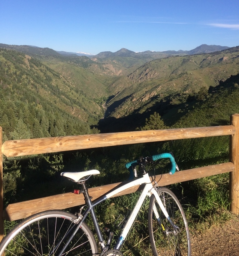
The Views:

Excellent page with lots of useful info. Thanks!